Karnataka RTC with Sketch – Check Pahani, Survey Map & Land Boundary Details
Karnataka RTC with Sketch is a useful combination of land records for people who want to verify both the recorded rights and the physical survey details of rural or agricultural property. The RTC/Pahani provides textual information such as the landholder, survey number and extent, while a Survey Sketch, Tippan, Atlas or PT Sheet helps identify the parcel’s measurements and boundaries.
In practice, “RTC with Sketch” generally means checking the RTC together with the relevant survey document, rather than one single combined land record.
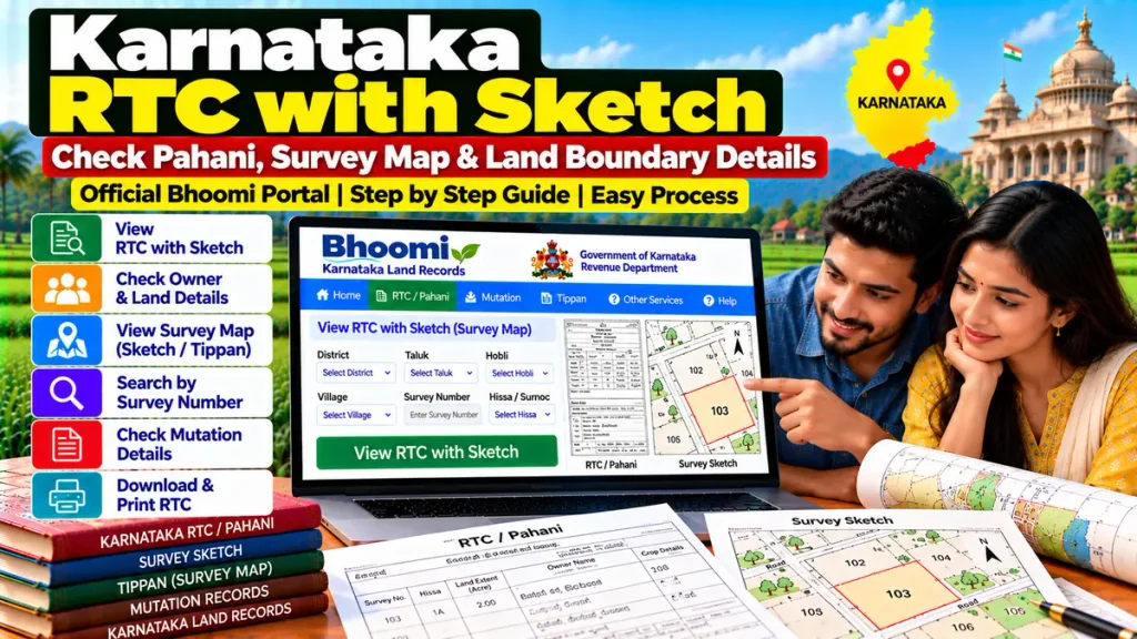
Karnataka RTC with Sketch – Overview
| Details | Information |
|---|---|
| Main Record | RTC / Pahani |
| Full Form | Record of Rights, Tenancy and Crops |
| Survey Documents | Tippan, Survey Sketch, Atlas, PT Sheet |
| Main Identifier | Survey Number |
| Subdivision Detail | Hissa / Surnoc |
| Related Record | Mutation Extract |
| Useful For | Property & Boundary Verification |
| System | Karnataka Bhoomi / Survey Records |
What Is Karnataka RTC/Pahani?
RTC, commonly known as Pahani, is one of Karnataka’s main rural land records.
It can contain important information relating to:
- Recorded owner or holder
- Survey number
- Hissa details
- Land extent
- Tenancy information
- Crop details
- Revenue-related entries
- Mutation-linked changes
RTC is therefore an important starting point when checking agricultural land, but it does not by itself provide a complete physical boundary picture.
What Is a Survey Sketch?
A Survey Sketch is a mapped representation of a land parcel showing survey-related measurements and boundaries.
Karnataka Government regulations specifically recognize a Survey Sketch, Atlas or PT Sheet certified by the competent Revenue Department or Department of Survey, Settlement and Land Records authority as an important property document.
Such sketches can contain details relating to:
- Plot boundaries
- Survey and subdivision numbers
- Access roads
- Pathways
- Cart tracks
- Nearby drains or nalas
- Tanks, ponds or lakes
- Phot Kharab portions
RTC vs Survey Sketch
RTC and Survey Sketch serve different purposes.
RTC/Pahani: Shows textual information about rights and land records.
Survey Sketch/Tippan: Helps identify the parcel physically through measurements and boundaries.
For stronger property verification, both records should be checked together.
How to Check Karnataka RTC with Sketch
First identify the land correctly using:
District → Taluk → Hobli → Village → Survey Number → Hissa
Check the latest RTC/Pahani through Karnataka’s Bhoomi land-record system.
Then obtain or review the applicable survey-related record, such as:
- Tippan
- Survey Sketch
- Atlas
- PT Sheet
Compare the same survey number and Hissa across all documents.
Why Is Hissa Number Important?
A Hissa number identifies a subdivision within a larger survey number.
Suppose Survey No. 120 has been divided into:
- 120/1
- 120/2
- 120/3
A buyer purchasing Survey No. 120/2 should make sure the RTC, mutation record, sale deed and sketch all relate specifically to 120/2.
Checking only the parent survey number can create confusion when several owners hold different portions.
Why Check RTC with Sketch Before Buying Land?
A land record may show the correct owner name, but the physical parcel shown to the buyer must also match the survey documents.
Before buying agricultural land, compare:
- Latest RTC/Pahani
- Survey/Hissa number
- Survey Sketch
- Tippan
- Mutation Extract
- Registered sale deed
- Encumbrance Certificate
- Recorded land extent
- Actual site boundaries
Karnataka Government property-development rules list RTC, Mutation Register Extract, registered ownership documents, Encumbrance Certificate and certified Survey Sketch/Atlas/PT Sheet among important land documents.
RTC with Sketch and Mutation
If the land was recently sold, inherited or partitioned, check whether the mutation has been completed.
The latest RTC should normally be compared with:
Mutation Extract: Explains the change affecting recorded rights.
Survey Sketch: Confirms the physical parcel or subdivision.
Registered Deed: Shows the legal transaction.
This becomes especially important after subdivision or family partition.
What Is Phot Kharab?
Phot Kharab refers to portions recorded separately within surveyed land that may not form part of the normally cultivable area.
Karnataka Government rules specifically require applicable Phot Kharab A and B to be indicated in certified Survey Sketch/Atlas/PT Sheet documents used for certain development applications.
A buyer should therefore understand whether any Phot Kharab area forms part of the survey number before assuming the entire recorded extent is freely usable.
RTC with Sketch and Property Loans
These documents may also become important when applying for:
- Agricultural loans
- Land purchase loans
- Mortgage finance
- Loan against property
- Property development finance
- Legal title verification
Banks or financial institutions may request RTC, registered deed, mutation information, Encumbrance Certificate and survey documents depending on the transaction.
What If RTC Area and Sketch Area Do Not Match?
A mismatch should be investigated before buying or financing the property.
Possible reasons may include:
- Subdivision
- Old survey records
- Mutation not updated
- Measurement differences
- Hissa-related changes
- Record errors
For a significant discrepancy, an official survey or measurement may be required.
Frequently Asked Questions
What does Karnataka RTC with Sketch mean?
It generally refers to checking the RTC/Pahani together with an applicable Survey Sketch, Tippan, Atlas or PT Sheet.
Is Survey Sketch the same as RTC?
No. RTC contains textual land-record information, while a Survey Sketch shows parcel measurements and boundaries.
Why is Hissa number important?
It identifies the exact subdivision within a larger survey number.
Should I check mutation with RTC and sketch?
Yes, especially if the property has recently been sold, inherited or divided.
Can Survey Sketch help verify boundaries?
Yes. It can help with preliminary boundary verification, though disputed boundaries may require an official survey.
Is RTC alone enough before buying agricultural land?
No. Buyers should also check the deed, mutation records, Encumbrance Certificate and applicable survey documents.
Conclusion
Karnataka RTC with Sketch provides a stronger way to verify rural property because it combines recorded land-right information with survey and boundary details. Comparing the RTC/Pahani, Survey Sketch, Tippan, Survey and Hissa numbers, Mutation Extract and registered deed can help buyers and landowners identify discrepancies before a purchase, loan, subdivision or property-development transaction.