Want to Find the Correct Land Record for Your State? Check State-Wise Land Details Online
Finding the correct land record in India can sometimes be confusing because every State and Union Territory may use different names, portals and search methods for property records. A document called Record of Rights (RoR) in one place may be known as Jamabandi, RTC, Pahani, Khatauni, Patta or by another regional name elsewhere.
If you want to find the correct land record for your State, the first step is to identify where the property is located and then use the official State or Union Territory land-record service.
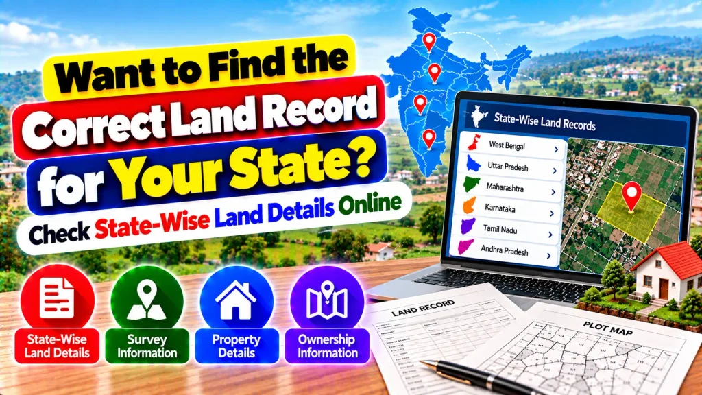
Depending on the local system, you may be able to check ownership-related entries, survey or plot numbers, land area, classification, cadastral maps and other available property information online.
State-Wise Land Records – Quick Overview
| Information | General Details |
|---|---|
| Land Record Authority | State/UT Revenue or Land Department |
| Main Record | Record of Rights (RoR) or equivalent |
| Owner Details | Recorded holder information may be available |
| Survey Number | Available in many systems |
| Plot/Khasra Number | State-specific |
| Land Area | Commonly available |
| Land Classification | Depends on record |
| Cadastral Maps | Available in many digitized systems |
| Mutation Details | State-specific |
| Online Download | Depends on portal |
| ULPIN/Bhu-Aadhaar | Available where implemented |
| Certified Copy | Procedure varies by State/UT |
Why Are Land Records Different in Every State?
Land administration in India is primarily handled by States and Union Territories.
Because of this structure, there is no single identical land-record format or search process used everywhere.
Different regions have developed their own terminology, administrative divisions and record-management systems.
For example, one State may allow searches by survey number, while another may prominently use khasra, khata, dag or plot numbers.
This is why identifying the correct State portal is important before searching for a property.
What Is a Record of Rights?
The Record of Rights, commonly abbreviated as RoR, is one of the key components of the land-record system.
It generally contains information about people whose rights are recorded in relation to a land parcel, along with the nature and extent of those rights and other revenue-related information.
The exact format varies by jurisdiction.
Depending on the State, you may encounter local terms such as RTC, Pahani, Jamabandi, Khatauni, Patta or other names.
Understanding the local terminology can make finding the correct record much easier.
How to Find Your State’s Land Record
Start by confirming the State or Union Territory where the property is physically located.
Next, identify the official land-record or revenue portal maintained for that jurisdiction.
Once you reach the correct portal, you may be asked to select location details such as district, tehsil, taluk, block, circle, village or another administrative unit.
After selecting the location, search options may include survey number, plot number, khasra number, khata number or another locally used record identifier.
Enter the details carefully and check the matching record.
Common Land Record Names Across India
The terminology used for land records differs considerably across India.
Users may encounter names such as RoR, RTC, Pahani, Jamabandi, Khatauni, Khasra, Patta, Khata, Dag or other regional terms.
These terms should not automatically be assumed to mean exactly the same thing in every State.
Their contents and legal significance depend on the applicable local system.
When checking land information, follow the terminology and instructions provided by the official State authority rather than relying solely on a generic description.
Check Survey and Plot Details
Survey and plot information can help identify the correct land parcel.
Depending on the State’s system, a parcel may be identified using a survey number, subdivision number, plot number, khasra number, dag number or another identifier.
Searching by the correct parcel number can be especially useful when several people in a village or locality have similar names.
Compare the number displayed online with the identifier shown on your available property documents before relying on the record.
View Recorded Ownership Details
Many State land-record systems provide information about the person or persons whose rights are recorded against a land parcel.
This can be useful for preliminary property verification.
However, a name appearing in an online revenue record should not automatically be treated as a complete legal-title check.
Property rights can also be affected by registered deeds, inheritance, court orders, mutation history and other legal documents.
For significant transactions, all relevant records should be examined.
Check Land Area and Classification
Land records may provide information about the recorded area and classification of a parcel.
The measurement units used can differ between States and even between regions.
Therefore, compare both the value and measurement unit carefully.
Classification may also provide information about how land is recorded within the relevant revenue system.
If the online area or classification is significantly different from your existing documents, contact the appropriate authority to understand the discrepancy.
Check State-Wise Cadastral Maps
Cadastral maps are spatial land records that show land parcels and their boundaries.
Digitization of cadastral maps is an important part of land-record modernization.
Where online map facilities are available, users may be able to identify a parcel and compare its mapped position with textual land information.
However, an online map should not automatically replace an official survey when exact on-ground boundaries need to be established.
Boundary disputes should be handled through the applicable State survey and revenue procedures.
Check Mutation Information
Mutation generally refers to updating the relevant land or revenue record after a qualifying change in recorded rights, subject to State rules.
The process may be relevant after events such as certain transfers or inheritance.
Because mutation procedures differ across jurisdictions, users should follow the instructions provided by their State or Union Territory.
If you are checking recently transferred property, reviewing the latest available record may help determine whether the relevant change has been reflected in the land-record system.
What Is ULPIN or Bhu-Aadhaar?
ULPIN stands for Unique Land Parcel Identification Number and is also commonly referred to as Bhu-Aadhaar.
It is a 14-digit identification number assigned to a land parcel using geo-referenced coordinates.
ULPIN is intended to provide a standardized way of identifying individual land parcels.
Its rollout and integration with citizen-facing services vary across States and Union Territories.
Therefore, users should check the relevant State system to determine whether ULPIN information is available for a particular property.
How State-Wise Online Records Help
Online land-record services can make preliminary property checks more convenient.
Depending on the State, users may be able to review:
- Record of Rights
- Recorded holder information
- Survey or plot number
- Khasra or Khata details
- Land area and classification
- Cadastral maps
- Mutation-related information
- ULPIN where available
This can reduce the need for an initial visit to a revenue office simply to locate basic digitized information.
Are All State Land Records Available Online?
Digital access has expanded significantly, but services are not identical across all States and Union Territories.
Some jurisdictions provide extensive online RoR and map facilities, while others may have limited online availability for particular records or locations.
Even when a record is available online, certified copies or certain official services may follow a separate process.
If you cannot find a record digitally, the relevant revenue office, authorized service centre or other prescribed channel may be necessary.
Is an Online Land Record Proof of Ownership?
An online land record can provide valuable property information, but it should not automatically be considered a complete legal-title verification.
The legal status of a downloaded or displayed document depends on the applicable State rules and the type of document.
For property purchases, loans, inheritance disputes or other major legal matters, additional documents such as registered deeds, certified records and applicable court or mutation information may need to be checked.
Use the Correct Official Portal
When searching for State-wise land details, use official government land-record services.
Avoid unknown websites that promise guaranteed ownership changes, instant mutation approval or complete title verification without following official procedures.
Check the State, district, village and parcel identifiers carefully before assuming that a displayed record belongs to your property.
For incorrect, missing or outdated information, contact the appropriate State or Union Territory revenue authority.
Frequently Asked Questions (FAQ)
1. Is there one land-record portal for all Indian States?
Land records are maintained by State and Union Territory authorities, and individual jurisdictions generally provide their own land-record services.
2. Can I check my State’s land record online?
Many States and Union Territories provide online RoR or related land-record facilities.
3. Why do land records have different names?
Land administration systems and terminology have developed differently across States and regions.
4. Can I search using a survey number?
Many State portals support survey, plot, khasra or similar parcel identifiers.
5. Can I check ownership details?
The relevant RoR may display recorded rights-holder information, depending on the State system.
6. Can I check a land map online?
Many jurisdictions provide digitized cadastral-map services, although availability varies.
7. What is ULPIN?
ULPIN is a 14-digit Unique Land Parcel Identification Number based on geo-referenced parcel information.
8. Can I download my land record?
Many State portals provide viewing or download options, while certified-copy procedures vary.
9. Does an online record confirm complete legal ownership?
Not necessarily. Complete title verification can require registered deeds and other relevant legal records.
10. What if I cannot find my property online?
Check the search details again and contact the appropriate revenue or land-record authority if the record is unavailable or requires correction.
Conclusion
If you want to find the correct land record for your State, begin with the official land-record service for the State or Union Territory where the property is located.
State-wise systems may use different terms such as RoR, RTC, Pahani, Jamabandi, Khatauni, Patta, Khasra or Khata. Depending on the portal, you may be able to check survey numbers, plot details, recorded ownership information, land area, cadastral maps and mutation-related entries.
Always verify that you are checking the correct property and remember that online revenue information may not by itself constitute a complete legal-title investigation. For important transactions or disputes, obtain the appropriate registered, certified and supporting records required under the applicable State rules.