Check Complete Land Record Details – View Property, Survey, Plot & Ownership Information
Digital land-record services have made it easier for citizens to access basic property information online. Many States and Union Territories in India provide official portals where users can search available records using location details, survey numbers, plot numbers, khasra numbers or other locally used land identifiers.
When you check complete land record details online, you may be able to view information such as the Record of Rights (RoR), recorded rights-holder details, survey or plot number, land area, classification, cadastral maps and mutation-related entries.
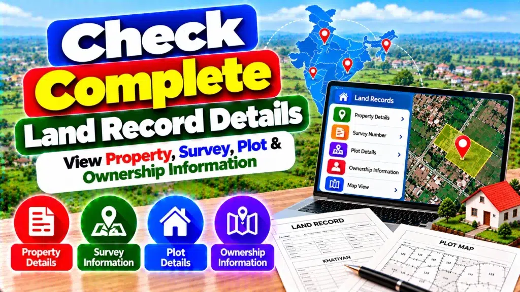
However, land administration is primarily handled by individual States and Union Territories. As a result, the terminology, available records, online search methods and certification procedures can differ significantly between jurisdictions.
Complete Land Record Details – Quick Overview
| Information | General Details |
|---|---|
| Record of Rights | Available through many State/UT systems |
| Property Details | Depends on the relevant land record |
| Survey Number | Identifies surveyed land |
| Plot Number | Used to identify parcels in many systems |
| Recorded Ownership | Rights-holder details may be displayed |
| Land Area | Commonly included |
| Land Classification | Depends on State records |
| Mutation Details | State-specific |
| Cadastral Map | Available in many digitized systems |
| ULPIN/Bhu-Aadhaar | Available where implemented |
| Online Copy | Depends on State portal |
| Certified Copy | State-specific procedure |
What Are Land Records?
Land records are official records maintained under the relevant State or Union Territory land administration system.
They can contain information about individual land parcels, recorded rights, land area, survey or plot identifiers and other revenue-related details.
The exact document name varies across India.
You may encounter terms such as Record of Rights, RoR, Jamabandi, RTC, Pahani, Khatauni, Khasra, Patta, Khata or other local names.
Understanding the terminology used in the State where the property is located is an important first step.
How to Check Land Records Online
Start by identifying the official land-record portal of the State or Union Territory where the property is physically located.
Once you reach the correct service, select the location details requested by the portal.
These may include district, tehsil, taluk, block, circle or village.
Next, use an available search option such as survey number, plot number, khasra number, khata number or another parcel identifier.
Enter the information carefully and review the matching record.
Search options vary, so always follow the instructions provided by the relevant authority.
View Complete Property Details
Online land records can provide several useful pieces of information about a property.
Depending on the jurisdiction, you may be able to see the parcel’s location, recorded land area, classification, survey number, plot number and rights-holder information.
These details can help users conduct preliminary verification.
For example, you can compare the survey number and land area displayed online with the information appearing in your existing property documents.
If there is a significant difference, contact the relevant authority for clarification.
Check Survey Number
A survey number is an identifier associated with surveyed land under the applicable survey and land-record system.
It can help users identify a particular parcel.
Some systems may also use subdivision numbers where a larger surveyed parcel has been divided.
Depending on the State, similar identifiers may be known as khasra numbers, dag numbers or other local terms.
Always compare the survey identifier with your official documents before assuming you have found the correct property.
View Plot Information
Plot numbers are another common way of identifying land parcels.
A plot record may contain information such as the parcel number, area, classification and associated recorded rights.
Some online systems may also connect plot information with a cadastral map.
If land has been subdivided, merged or resurveyed, identifiers can change.
Therefore, use multiple details—including village, survey number, plot number and area—when confirming that an online record relates to the correct property.
Check Recorded Ownership Information
Many people use online land records to check whose name is recorded against a particular parcel.
Depending on the system, the Record of Rights may show one or more recorded rights holders.
This information can be useful for an initial property check.
However, a name appearing in a revenue record should not automatically be treated as complete proof of legal title.
Registered deeds, inheritance records, court orders, mutation history and other documents can also affect property rights.
What Is a Record of Rights?
The Record of Rights (RoR) is a key component of many land-record systems.
It generally contains rights-related information associated with land, although its format and contents vary by jurisdiction.
Different States may use different names for similar types of revenue records.
Online access to RoR information can make preliminary verification more convenient.
For official transactions, however, users should check whether a certified, digitally signed or otherwise authenticated version of the record is required.
Check Land Area and Classification
Land records commonly include the recorded area of a parcel.
Measurement units can differ by State and region, so compare both the numerical value and the unit carefully.
Land classification may also be included.
Classification terminology can have specific meanings under State rules.
If the classification affects a planned purchase, construction, loan or other important decision, verify its meaning with the appropriate authority rather than relying solely on a general online description.
View Cadastral Maps
Cadastral maps provide spatial information relating to land parcels and boundaries.
Many land-record modernization initiatives involve digitizing cadastral maps and linking them with textual records.
Where available, online maps can help users locate a parcel, view its general shape and understand surrounding plots.
However, an online map does not necessarily replace an official survey.
For precise boundary demarcation or disputes, follow the official measurement and survey procedure prescribed by the relevant authority.
Check Mutation Details
Mutation generally involves updating the applicable revenue or land record after a qualifying change affecting recorded rights.
For example, certain transfers or inheritance events may require mutation under State-specific procedures.
If a property has recently changed hands, reviewing the latest available record can help determine whether the relevant update appears in the land-record system.
Mutation requirements, documents, fees and processing methods vary by jurisdiction.
Mutation and property registration should not automatically be considered the same process.
Land Record vs Registered Deed
A land revenue record and a registered property deed serve different purposes.
A registered deed documents a registered transaction, while the land-record system maintains revenue, survey and rights-related information according to applicable rules.
Therefore, checking only an online land record may not be sufficient before buying property.
A more complete verification may involve registered deeds, current RoR, mutation history, applicable maps and other relevant legal records.
What Is ULPIN or Bhu-Aadhaar?
The Unique Land Parcel Identification Number (ULPIN), commonly referred to as Bhu-Aadhaar, is designed to provide a standardized identity for individual land parcels.
ULPIN is a 14-digit identifier generated using geo-referenced parcel information.
It can help uniquely identify land within modernized land-record systems.
Implementation varies between States, Union Territories and locations, so users should not assume that every parcel already displays an accessible ULPIN.
Benefits of Checking Complete Land Records Online
Digital land-record services can make preliminary property checks faster and more convenient.
Depending on the jurisdiction, users may be able to review:
- Record of Rights
- Survey number
- Plot or khasra number
- Recorded rights-holder details
- Land area
- Land classification
- Mutation-related information
- Cadastral maps
- ULPIN where available
Online access can also help identify possible differences between existing property documents and the current digital record.
Are Online Land Records Legally Valid?
The legal status depends on the document type and applicable State rules.
A record displayed on a website can be useful for informational purposes, but a simple online view or downloaded copy may not always have the same status as a certified or digitally authenticated document.
For registration, bank loans, court proceedings or other formal purposes, check the exact document requirements of the relevant authority.
Use Official Land Record Portals
Always use the official State or Union Territory land-record service when checking property information.
Be cautious of unknown websites claiming they can guarantee ownership changes, mutation approval or legal title simply through an online payment.
Never share your ATM PIN, UPI PIN, CVV, banking password or other sensitive financial credentials to access basic land information.
If a record is incorrect or outdated, use the official correction procedure.
Frequently Asked Questions (FAQ)
1. Can I check complete land record details online?
Many States and Union Territories provide online access to digitized land-record information.
2. Can I search using a survey number?
Many portals support searches using survey, plot, khasra or similar parcel identifiers.
3. Can I view plot details online?
Yes, where the relevant State system provides digitized plot information.
4. Can I check the recorded owner’s name?
The relevant land record may display the person or persons whose rights are recorded against the parcel.
5. What is RoR?
RoR means Record of Rights, a land record containing rights-related information under the applicable system.
6. Can I view a land map online?
Many jurisdictions provide digitized cadastral maps, although availability varies.
7. What is mutation?
Mutation is the process of updating applicable land or revenue records following qualifying changes, subject to State rules.
8. What is ULPIN?
ULPIN is a 14-digit Unique Land Parcel Identification Number based on geo-referenced parcel information.
9. Does an online record prove legal ownership?
Not necessarily. Complete title verification may require registered deeds and other relevant documents.
10. What should I do if my land details are incorrect?
Contact the appropriate revenue, survey or land-record authority and follow the prescribed correction procedure.
Conclusion
The ability to check complete land record details online provides a convenient way to review property, survey, plot and recorded ownership information from a smartphone or computer.
Depending on the State or Union Territory, users may also find the Record of Rights, land area, classification, cadastral maps, mutation information and ULPIN details.
However, land-record terminology, availability and legal status vary across India. Online information is useful for preliminary verification but may not replace registered deeds, certified records or an official survey when these are required.
Always use the official land-record portal for the jurisdiction where the property is located, compare all parcel details carefully and contact the appropriate authority when information is missing, outdated or disputed.