AP Village Map Online – Check Land Map, Survey Number & Boundary Details
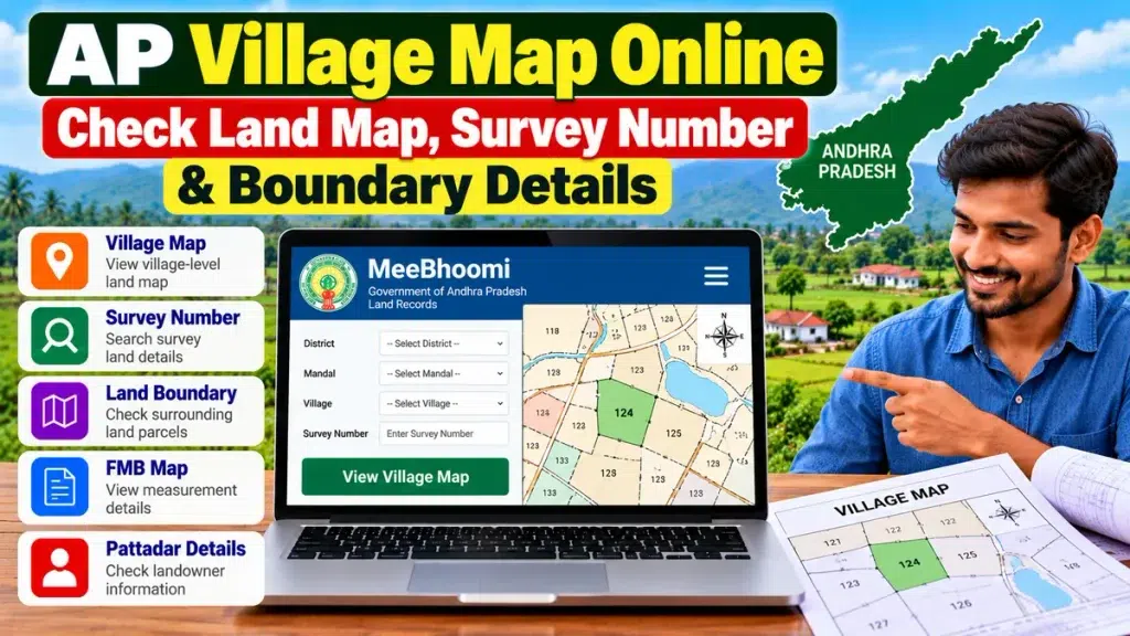
Checking an AP Village Map Online can help landowners, farmers and property buyers understand where a particular survey parcel is located within a village. Village maps can be useful for identifying survey numbers, nearby parcels, land boundaries and the broader location of agricultural or other property in Andhra Pradesh.
The Andhra Pradesh Survey and Land Records Department officially maintains records such as Village Maps, FMBs, RSRs and Land Registers. It also handles mapping, subdivision and boundary-related survey work.
What Is an AP Village Map?
A Village Map is a cadastral or survey map showing land parcels within a revenue village.
Depending on the available record, it can help users understand:
- Survey parcel locations
- Survey numbers
- Nearby land parcels
- Village boundaries
- Roads and geographical references
- Subdivisions
- General land layout
Unlike a detailed FMB Sketch, which focuses more closely on field measurements, a village map provides a broader view of multiple survey parcels.
AP Village Map Online – Quick Overview
| Particular | Details |
|---|---|
| State | Andhra Pradesh |
| Record Type | Village / Cadastral Map |
| Main Use | Locate survey parcels |
| Related Records | FMB, ROR 1-B, Adangal |
| Search Information | District, Mandal, Village, Survey Number |
| Useful For | Property and boundary verification |
| Maintained By | Survey & Land Records Department |
How to Check AP Village Map Online
Andhra Pradesh provides digital land-record and GIS services that can help users access land and geographical information.
The exact interface can change, but users generally need details such as:
- District
- Mandal
- Village
- Survey number
- Subdivision number, if applicable
After selecting the correct village, locate the survey parcel and compare it with your existing land documents.
Andhra Pradesh Space Applications Centre also provides GIS services including Cadastral Maps, while its spatial services include village-boundary and village-location datasets.
What Can You Check on a Village Map?
A village map can be useful for understanding the position of a land parcel in relation to surrounding properties.
You may be able to identify:
- Your survey number
- Adjacent survey parcels
- Village boundary
- Roads or access routes
- Nearby landmarks
- General shape of land parcels
- Location of subdivisions
However, a village map should not be used alone to determine exact legal ownership or final property boundaries.
Village Map vs FMB Sketch
Both records are useful, but they serve different purposes.
| Village Map | FMB Sketch |
|---|---|
| Shows a wider village area | Shows detailed field measurements |
| Helps locate survey parcels | Helps verify dimensions |
| Displays multiple survey numbers | Focuses on a specific field |
| Useful for general location | Useful for boundary checks |
The Andhra Pradesh Survey Department maintains both Village Maps and FMBs as part of its permanent land-record system.
Why Check a Village Map Before Buying Land?
When purchasing land, checking the location of the survey parcel can help reduce confusion about which property is actually being sold.
Before making a major payment, buyers should compare:
- Village Map
- Survey number
- FMB Sketch
- ROR 1-B
- Adangal
- Pattadar details
- Registered sale deed
- Mutation information
- Encumbrance-related documents
- Physical land boundaries
A village map is especially useful where several neighbouring agricultural plots have similar descriptions or where a property has been subdivided.
Village Map and Survey Boundaries
The Survey and Land Records Department carries out land measurement, mapping, subdivision and the demarcation of private-land boundaries when requested under the applicable process. It also maintains survey records at village, Mandal, district and state levels.
If there is a serious boundary dispute, a simple online map may not be sufficient. An official field survey or boundary demarcation may be required.
Village Map for Property Registration
Survey and location details can also become important during a property transaction.
Before registration, buyers should make sure that:
- The survey number is correct
- The village is correct
- The parcel matches the seller’s documents
- The registered extent matches supporting records
- The physical location corresponds with the land being sold
Any mismatch should be clarified before completing the purchase.
Village Map for Land Loans
Property location and survey details may also be reviewed when applying for an agricultural loan, land loan, mortgage or loan against property.
Banks and financial institutions normally conduct their own legal and technical verification. Consistent survey, ownership and boundary information can make the verification process easier.
Frequently Asked Questions
Can I check an AP village map online?
Andhra Pradesh provides digital land-record and GIS services, including cadastral-map and village-related spatial information.
What does a village map show?
It generally shows survey parcels, village boundaries and the broader geographical layout of land within a village.
Is a village map the same as an FMB?
No. A village map gives a broader view, while an FMB contains more detailed field measurements.
Can a village map prove ownership?
No. Ownership should be verified through relevant revenue records and registered property documents.
What if my land boundary does not match the map?
Contact the appropriate Revenue or Survey and Land Records authority. Official measurement or demarcation may be required.
Conclusion
An AP Village Map Online can help users locate survey parcels, compare surrounding land and better understand the geographical position of property in Andhra Pradesh.
For stronger property verification, compare the village map with FMB, survey number, ROR 1-B, Adangal, Pattadar details, mutation records and registered documents before completing a major financial or legal transaction.