AP FMB Map / FMB Sketch – Check Field Measurement & Land Boundary Details
An AP FMB Map or FMB Sketch is an important land-survey record for people who want to check the measurements, survey boundaries and subdivision details of a property in Andhra Pradesh. It can be especially useful before buying land, resolving a boundary issue, applying for subdivision or completing property-related documentation.
The Andhra Pradesh Survey and Land Records Department maintains records such as Field Measurement Books (FMBs), village maps, RSRs and land registers.
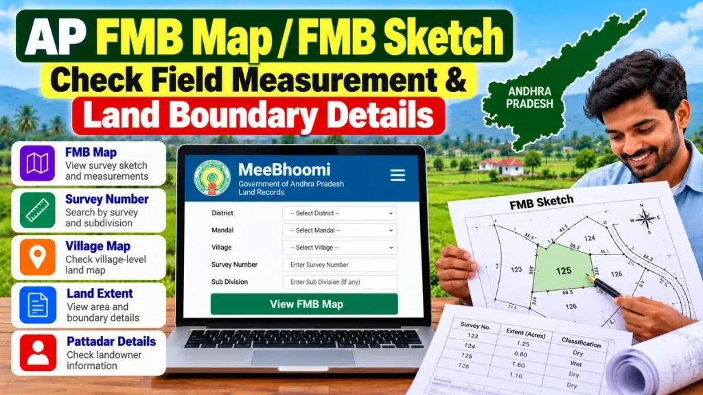
What Is an FMB in Andhra Pradesh?
FMB stands for Field Measurement Book. It contains measurement sketches of individual fields.
Andhra Pradesh’s official MeeSeva documentation states that an FMB copy contains field-measurement sketches and that the recorded measurements are used for purposes such as demarcating survey numbers, preparing maps and calculating land areas.
This makes the FMB particularly important when the exact shape, measurement or boundary of a land parcel needs to be checked.
AP FMB Map – Quick Overview
| Particular | Details |
|---|---|
| Record Name | Field Measurement Book |
| Short Name | FMB |
| State | Andhra Pradesh |
| Main Purpose | Survey and measurement verification |
| Contains | Field measurement sketches |
| Related Records | Survey Number, Village Map, ROR 1-B |
| Useful For | Boundary, subdivision and property checks |
| Official Service | FMB Copy through Revenue services |
What Information Can an FMB Sketch Show?
An FMB sketch can help users understand survey-related information associated with a particular land parcel.
Depending on the record, it may show:
- Survey number
- Subdivision information
- Field shape
- Survey lines
- Measurements
- Adjacent land parcels
- Boundary-related details
- Calculated land area
The FMB should generally be compared with other property documents instead of being used alone to decide ownership.
How to Get an AP FMB Copy
Andhra Pradesh provides an official FMB Copy service through its Revenue/MeeSeva system. The official service manual explains that citizens can request a copy of the Field Measurement Book through the Revenue Department service.
The exact interface may change, but users should generally keep details such as the following ready:
- District
- Mandal
- Village
- Survey number
- Subdivision details, where applicable
- Applicant information
Make sure the survey number matches your registered property documents before requesting the record.
Why Check an FMB Before Buying Land?
Land boundaries are one of the most important issues to verify before making a major property payment.
For example, the sale deed may mention a particular land extent, but the buyer should also confirm whether the physical plot corresponds with the relevant survey and subdivision records.
Before purchasing property, consider comparing:
- Registered sale deed
- Survey number
- FMB sketch
- Village map
- ROR 1-B
- Adangal
- Pattadar details
- Mutation records
- Encumbrance-related documents
- Physical boundaries
This type of verification can be especially valuable when buying agricultural land or a property that has previously been subdivided.
FMB for Boundary Verification
The Andhra Pradesh Survey Department handles activities including measurement, mapping, subdivision and demarcation of private-land boundaries on request. It also supplies certified copies of survey records, including FMBs, subject to the applicable process and fees.
If there is a serious disagreement over the location of a boundary, simply viewing a digital map may not be enough. An official survey or demarcation may be necessary.
FMB and Land Subdivision
An FMB becomes particularly important when one survey number is divided into multiple portions.
Survey authorities incorporate new subdivisions into permanent land records and maintain related measurement and mapping information.
After subdivision or mutation, property owners should check whether the survey and revenue records accurately reflect the changed parcel.
FMB for Property Registration and Loans
Survey and measurement information can also become relevant during property registration, land purchases, mortgages and loan-against-property applications.
Banks and financial institutions usually conduct their own legal and technical verification. A mismatch between the registered extent, survey number and actual land boundaries can create additional documentation requirements.
Checking FMB and related records early can therefore help identify possible issues before a major property or finance transaction.
FMB vs Village Map
An FMB sketch focuses on detailed field measurements, while a village map generally provides a broader view of survey parcels within a village.
| FMB | Village Map |
|---|---|
| Detailed field measurements | Broader village-level map |
| Useful for boundary checks | Useful for locating parcels |
| Shows survey geometry | Shows multiple survey parcels |
| Helpful for subdivision | Helpful for location reference |
For detailed property verification, both records may be useful.
Frequently Asked Questions
What does FMB mean?
FMB means Field Measurement Book.
What is an AP FMB sketch?
It is a survey record containing measurement sketches for individual fields.
Can I get an FMB copy in Andhra Pradesh?
Yes. Andhra Pradesh provides an official FMB Copy service through its Revenue/MeeSeva system.
Can an FMB help check property boundaries?
Yes. FMB measurements can be useful for understanding survey boundaries, but official demarcation may be required where there is a dispute.
Is an FMB proof of ownership?
An FMB is primarily a survey and measurement record. Ownership should also be verified through relevant revenue records, registered deeds and other legal documents.
Conclusion
An AP FMB Map / FMB Sketch is an important document for checking land measurements, survey boundaries and subdivision information in Andhra Pradesh. Before buying, registering or financing property, compare the FMB with the survey number, ROR 1-B, Adangal, village map, Pattadar records and registered documents for more complete land verification.