Plot and Survey Number Search – How to Find Land Details Online Using Your Phone
Checking land information has become easier as many States and Union Territories in India have digitized their revenue and survey records. Today, landowners, farmers, buyers and legal heirs can often use a smartphone to search for available property information using a Plot Number or Survey Number.
A Plot or Survey Number is an important reference used to identify a particular land parcel within the relevant village, revenue estate or survey area. Depending on the state, similar parcel references may be called Khasra Number, Gata Number, Dag Number, Survey Number or Plot Number.
Once the correct parcel is identified, users may be able to check information such as the recorded landholder, land area, Record of Rights, Khata/Khatian details, land classification and cadastral map.
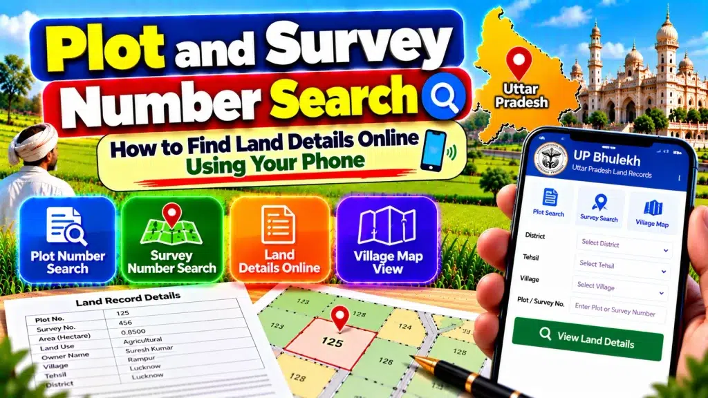
This guide explains Plot and Survey Number Search, how to find land details online using your phone, and what information should be verified before relying on a digital land record.
Plot and Survey Number Search – Quick Overview
| Details | Information |
|---|---|
| Service | Online Land Record Search |
| Search Reference | Plot / Survey Number |
| Other Parcel Terms | Khasra, Gata, Dag, Survey Number |
| Device | Smartphone, Tablet or Computer |
| Main Record | Record of Rights / State Revenue Record |
| Landholder Details | Available in applicable records |
| Land Area | Available in applicable records |
| Holding Reference | Khata / Khatian or state equivalent |
| Cadastral Map | Available in many digitized areas |
| Mutation Information | Depends on state portal |
| Land Classification | May be available |
| Certified Copy | Depends on state service |
| ULPIN / Bhu-Aadhaar | 14-digit parcel identifier |
| Main Authority | State/UT Revenue Department |
| National Programme | DILRMP |
What Is a Plot Number?
A Plot Number is a reference used to identify an individual land parcel in the applicable land-record system.
It allows the Revenue or Survey Department to distinguish one parcel from another within the relevant location.
Plot Number terminology is common in several states, although the exact record structure varies.
A Plot Number should always be checked together with location information such as District, Tehsil, Taluk, Village or Mouza.
A number by itself is usually not enough to identify a property across an entire state because the same numerical reference may exist in different villages.
What Is a Survey Number?
A Survey Number is another parcel-identification reference commonly used in Indian land records.
During a land survey, individual parcels are identified and recorded using survey references.
Some states may also use sub-division, Hissa or similar references where a larger surveyed parcel has been divided into smaller portions.
Survey Number information can help users connect a specific parcel with its Record of Rights, land area and cadastral map.
The exact terminology and format depend on the state’s revenue and survey system.
Plot Number vs Survey Number
Plot Number and Survey Number both help identify land parcels, but the terminology is not identical across every state.
In one state, Survey Number may be the primary parcel reference. In another, users may encounter Plot, Khasra, Gata or Dag Number.
Therefore, avoid assuming that all these terms have exactly the same administrative meaning everywhere in India.
The safest method is to check the official land-record portal for the state where the property is located and follow the terminology used there.
How to Search Land Details Using Your Phone
First identify the State or Union Territory where the property is situated.
Open its official Revenue or land-record portal using your mobile browser.
Choose the available Record of Rights, land-record or property-search service.
Select the correct District.
Choose the Tehsil, Taluk, Mandal, Block or other applicable revenue unit.
Select the Village, Mouza or locality.
Choose the available Plot Number, Survey Number, Khasra, Gata or equivalent parcel-search option.
Enter or select the correct parcel reference.
Open the matching record and carefully review the displayed land information.
How to Check Landholder Name
After locating the correct parcel, check the available Record of Rights or equivalent state land record.
Look for the recorded landholder, pattadar, khatedar, raiyat or other state-specific description.
Do not identify a property using the landholder’s name alone.
Where available, compare the person’s parent, spouse or guardian details along with the Village, Khata/Khatian and parcel reference.
This is particularly important when several people have similar names.
How to Check Land Area
A digital land record may contain the recorded area or extent of the parcel.
After finding the correct Plot or Survey Number, check the area associated specifically with that parcel.
If a property contains several parcel numbers, review each one separately.
Do not confuse the combined area of a broader holding with the area of one individual plot.
Compare the online land area with the registered property document and other applicable records before an important transaction.
What Is a Record of Rights?
The Record of Rights or RoR is an important land revenue record.
It can contain information about persons having recorded rights in the land, the nature or extent of those rights and other applicable revenue information.
The exact format and name differ between states.
Citizens may encounter records called Jamabandi, Khatauni, Khatian, RTC, Pahani, Patta, 7/12, Adangal or other regional names.
The Department of Land Resources supports computerization of RoRs under the Digital India Land Records Modernization Programme.
What Is a Khata or Khatian Number?
A Khata or Khatian Number generally refers to a broader landholding or Record of Rights reference, depending on the state.
It should not automatically be confused with a Plot or Survey Number.
One holding can sometimes contain several individual parcels.
Therefore, after locating the relevant Khata/Khatian, check all associated Plot, Survey, Khasra, Gata or Dag Numbers.
When researching one particular property, identify exactly which parcel is involved.
How to View a Land Map on Your Phone
Many state land-record systems provide digital cadastral maps for applicable areas.
A cadastral map shows land parcels and their spatial relationship with neighboring plots.
After identifying your Plot or Survey Number, use the state’s applicable map service to locate the parcel.
This can help you understand its shape and relative position.
However, a digital map should not automatically be treated as a replacement for an official physical survey or boundary demarcation where the exact boundary is disputed.
Plot Number and Mutation Records
Land records can require updating when rights change because of a qualifying sale, inheritance, gift, partition or another event.
This revenue-record update is commonly known as mutation.
Many states provide mutation applications, status checks or mutation-entry information online.
If a recently acquired parcel continues to display an older landholder, compare the current RoR with the registered deed and applicable mutation information.
A registered property document and mutation entry serve different functions.
How to Find Survey Number If You Do Not Know It
Start with the property documents already available to you.
A registered sale deed, previous Record of Rights, Khatauni, Khatian, Patta, RTC or other revenue document may contain the relevant parcel reference.
You may also be able to search the state’s land-record portal using a landholder or holding reference where that option is provided.
Once you identify the Survey or Plot Number, verify it against the correct Village and other property information.
Never guess a parcel number.
What Is ULPIN or Bhu-Aadhaar?
ULPIN, also known as Bhu-Aadhaar, is the Unique Land Parcel Identification Number initiative.
It provides a standardized 14-digit identifier for a land parcel based on geo-referenced parcel information.
ULPIN is part of the Digital India Land Records Modernization Programme and is intended to improve unique identification of land parcels.
Its availability and integration can vary by State or Union Territory, so users should check the applicable state land-record system rather than assuming every online parcel will display it in exactly the same way.
Online Land Record vs Certified Copy
Viewing a land record on your mobile is convenient for preliminary verification.
However, a normal online screen view or screenshot should not automatically be treated as the same as a certified or digitally signed record.
Some states provide separate facilities for obtaining authenticated copies of RoR or other land documents.
When a certified record is required for an official purpose, use the prescribed state service and follow the applicable verification or payment procedure.
What If the Plot Details Are Incorrect?
First confirm the District, Tehsil/Taluk, Village and Plot or Survey Number.
Compare the online record with the registered deed and older revenue documents.
Check whether there has been a recent mutation, subdivision, partition or survey update.
If the discrepancy remains, contact the competent Revenue or Survey authority and follow the applicable correction procedure.
Avoid unknown agents who claim they can unofficially change government land records.
What If the Survey Number Has a Sub-Division?
Some state land-record systems use sub-division or Hissa references where an original survey parcel has been divided.
In such cases, checking only the main Survey Number may not be enough.
Compare the complete parcel reference with the registered document and current land record.
A transaction involving one sub-division should not automatically be assumed to include every portion of the original Survey Number.
Plot Search Before Buying Land
Before purchasing property, identify every Plot or Survey Number included in the proposed transaction.
Check the current Record of Rights and recorded landholder.
Compare the parcel area with the registered documents.
Review the cadastral map where available.
Check applicable mutation information, especially if the seller acquired the land recently.
Where relevant, also examine registration, inheritance, partition, court or other legal documents.
These checks provide a broader picture of the property.
Does a Plot or Survey Number Prove Ownership?
No. A Plot or Survey Number primarily identifies a land parcel.
The corresponding RoR provides important information about recorded rights, but complete legal title verification can involve additional documents.
These may include registered sale deeds, inheritance or succession documents, gift or partition deeds, mutation history, court orders and survey records.
Therefore, finding a parcel online is an important starting point, but it should not be treated as standalone proof of ownership.
Tips for Mobile Land Record Search
Use only the official State or Union Territory land-record website.
Keep the District, Tehsil/Taluk, Village and parcel number ready before starting.
Double-check spelling and numerical references.
Avoid sharing banking PINs, passwords or unnecessary personal information with unknown websites.
If an official service requires payment for a certified copy, follow only the payment process provided by that government service.
Frequently Asked Questions (FAQ)
1. What is a Plot Number?
A Plot Number is a reference used to identify an individual land parcel within the applicable land-record system.
2. What is a Survey Number?
A Survey Number identifies a surveyed parcel within the relevant village or survey area.
3. Can I search land details using my phone?
Yes. Many State and UT land-record portals can be accessed through a mobile web browser.
4. Can I check a landholder’s name using Survey Number?
Where the state portal provides parcel-based RoR search, the relevant record may show the recorded landholder information.
5. Can I check land area online?
Applicable digital land records can contain the recorded area or extent of a parcel.
6. Is Plot Number the same as Khata Number?
Not necessarily. Plot Number generally identifies a parcel, while Khata commonly relates to a broader holding or account.
7. Can I view land maps online?
Many states provide digital cadastral maps for applicable areas.
8. What is mutation?
Mutation is the applicable revenue-record process for updating recorded rights after a qualifying change.
9. What is ULPIN?
ULPIN or Bhu-Aadhaar is a 14-digit unique land-parcel identifier based on geo-referenced parcel information.
10. Does Survey Number alone prove ownership?
No. Complete title verification may also require RoR, registered deeds, mutation records and other relevant legal documents.
Conclusion
Plot and Survey Number Search provides a convenient way to find land details online using your phone.
Depending on the state, the parcel reference may be known as a Plot Number, Survey Number, Khasra, Gata or Dag Number. Once the correct parcel is identified, users may be able to check the recorded landholder, land area, RoR, Khata/Khatian and cadastral map.
India’s digital land-record systems are state-specific, so always use the official portal for the location where the property is situated.
For important property verification, compare the Plot or Survey Number with the current Record of Rights, land area, cadastral map, mutation information and registered documents. This provides a more complete understanding of the property than relying on a single online parcel search.